The starting point of the Yangtze River
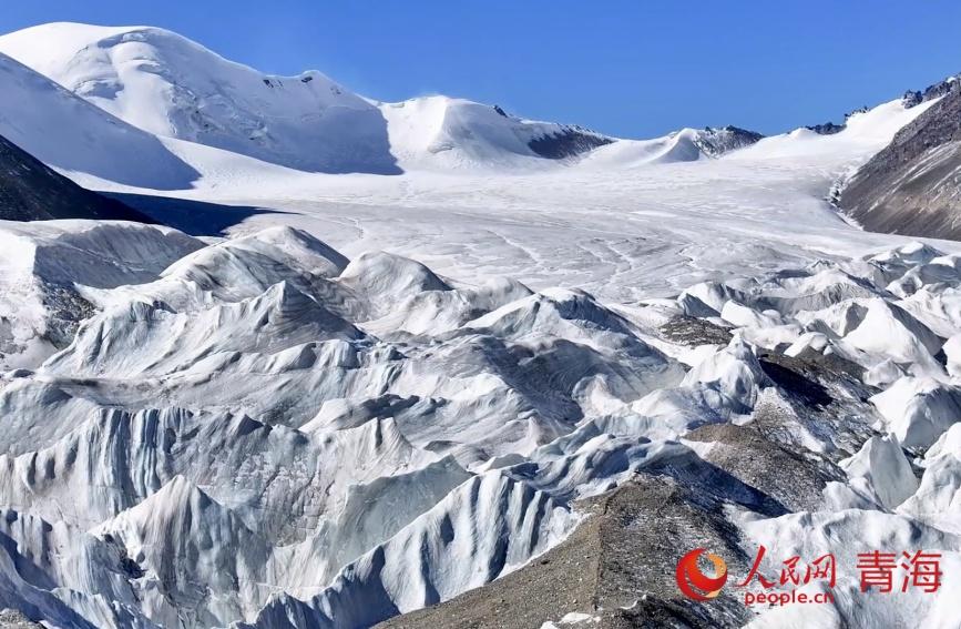
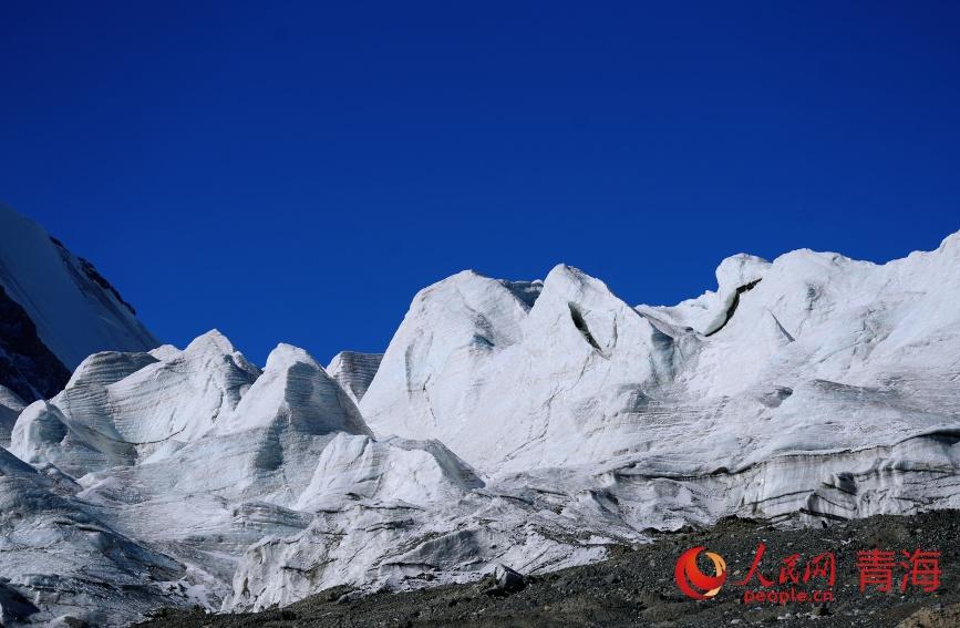
The glacier at the base of Mount Geladandong in the Tanggula Mountains is the starting point of the Yangtze River. Upon entering the Yangtze River source area in Sanjiangyuan National Park, located in Tanggula town, Golmud city, Haixi Mongolian and Tibetan Autonomous Prefecture, northwest China's Qinghai Province, the Gangjiaquba Glacier on the eastern slope of Mount Geladandong presents a magnificent view of layered ice towers when seen from above.
The name "Geladandong" means "high and sharp peak" in Tibetan. Beneath the snow peak are 104 glaciers of various sizes, covering an area of 790.4 square kilometers.
Two large, semi-arc-shaped glaciers running north and south dominate the landscape. The southern glacier, Jianggendiru Glacier, has an altitude of 6,548 meters, a length of 12.8 kilometers, and a width of 1.6 kilometers. At its tail lies an ice tower forest stretching 5 kilometers. The northern glacier is 10.1 kilometers long, 1.3 kilometers wide, and has a 2-kilometer-long ice tower forest at its tail. Together, these two massive glaciers form an enormous solid reservoir, becoming the source of the Yangtze River.
A photo shows the glacier at the source of the Yangtze River. (People's Daily/He Yong)
A photo shows the glacier at the source of the Yangtze River. (People's Daily/He Yong)
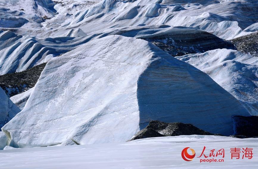
A photo shows the glacier at the source of the Yangtze River. (People's Daily/He Yong)
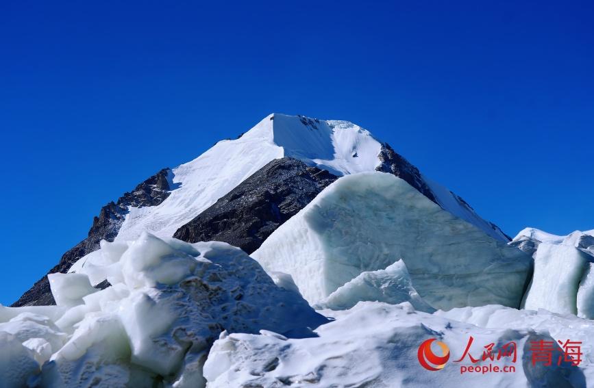
A photo shows the glacier at the source of the Yangtze River. (People's Daily/He Yong)
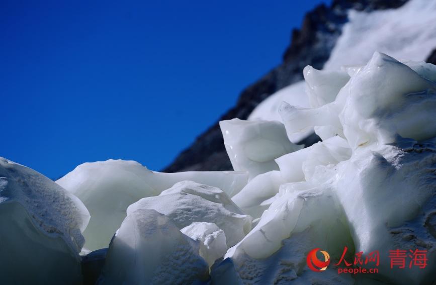
A photo shows the glacier at the source of the Yangtze River. (People's Daily/He Yong)