【Journey to the West of Xizang】Color of Ngari
Ngari Prefectureis in the west of the Xizang Autonomous Region and the southwest of the Qinghai-Tibet Plateau. With an average elevation of 4,500 meters and above, it is called “the roof of the world” and “the plateau on the plateau”.
The terrain in Ngari is complicated and diversified. It is roughly divided into the area of lake basin on the plateau, high mountain and wide valley area, and high mountain and canyon area. Due to high elevation, high and cold conditions, long sunshine duration, high intensity of radiation, and other natural conditions, Ngari not only has magnificent scenery on the plateau but also boasts colorful changes with elevation, light, season, types of minerals in rock formations in the mountain body, and other factors.
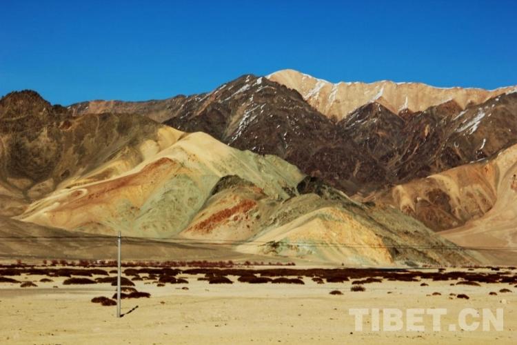
In the picture is a colorful mountain body in Gar County, Ngari Prefecture
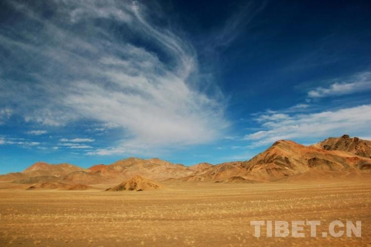
In the picture is a mountain body and grassland in Rutog County, Ngari Prefecture, Xizang Autonomous Region with strong sunlight and high wind.
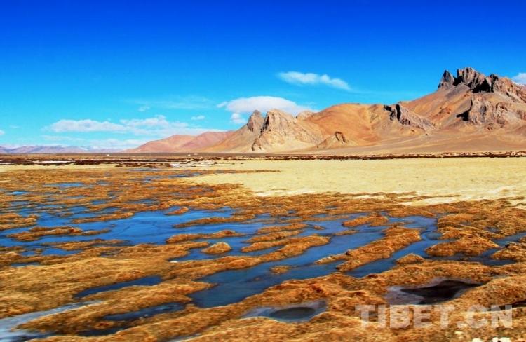
In the picture is the blue sky reflected in a wetland in Rutog County, Ngari Prefecture, Xizang Autonomous Region on a sunny day.
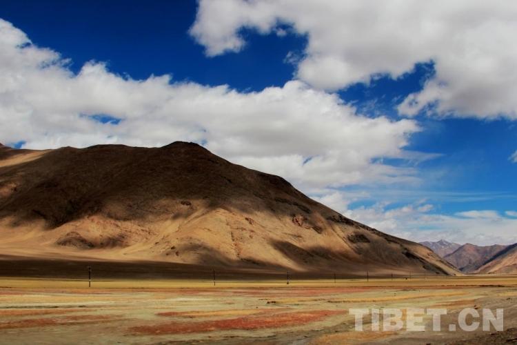
In the picture, the ground of grassland in Rutog County, is decorated with many kinds of vegetation, ice and snow that has not melted, etc.
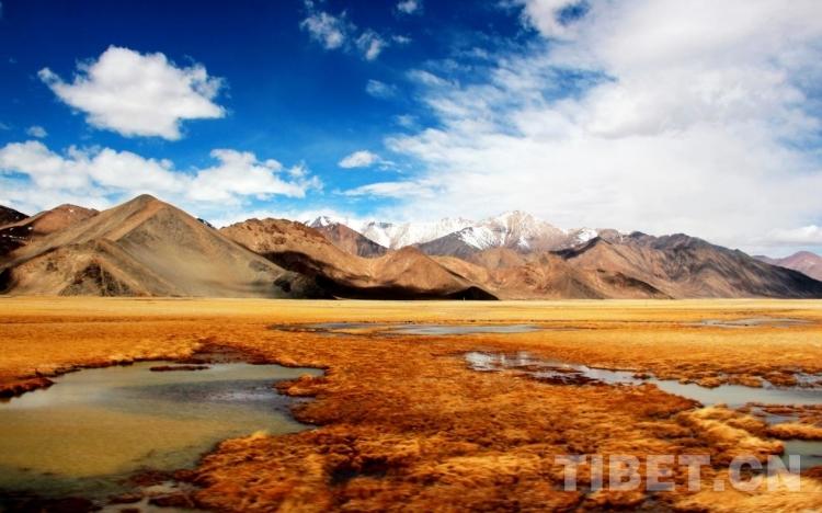
In the picture is the snow mountain, grassland, and wetland in Rutog County.
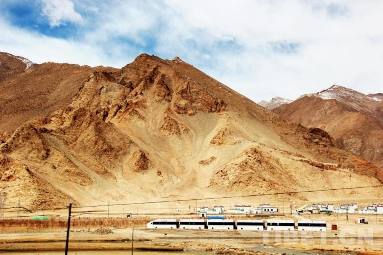
In the changing natural scenery of Ngari, there are also a lot of interesting man-made structures, adding brilliance to the scenery. In the picture is a building imitating a high-speed train in Rutog County. In the distance, it looks like a real high-speed train that is running at a high speed on the plateau.
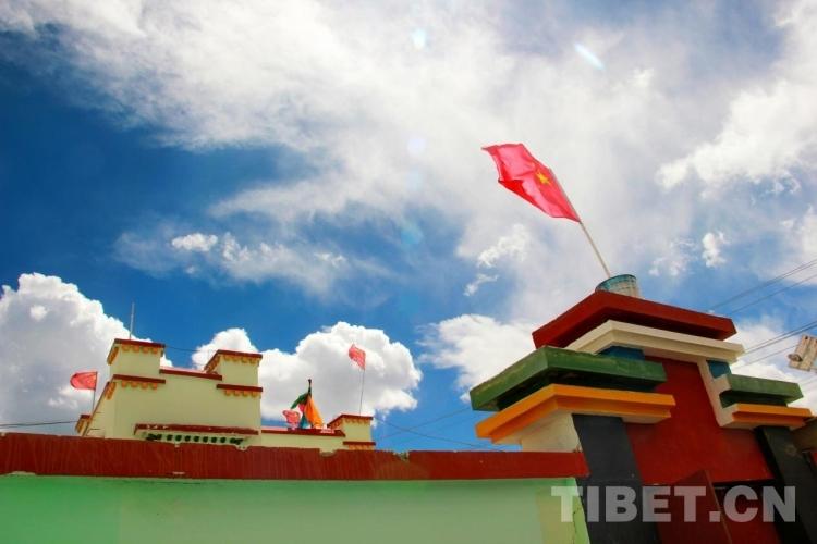
In the picture are dwellings in Wujiang Village, Doima Township, Rutog County. . Wujiang Village is a moderately prosperous village on the border.
